HeliographSun path and solar panel planner
Where is the sun at any moment — and which way should a solar panel face to catch the most of it?
Summary
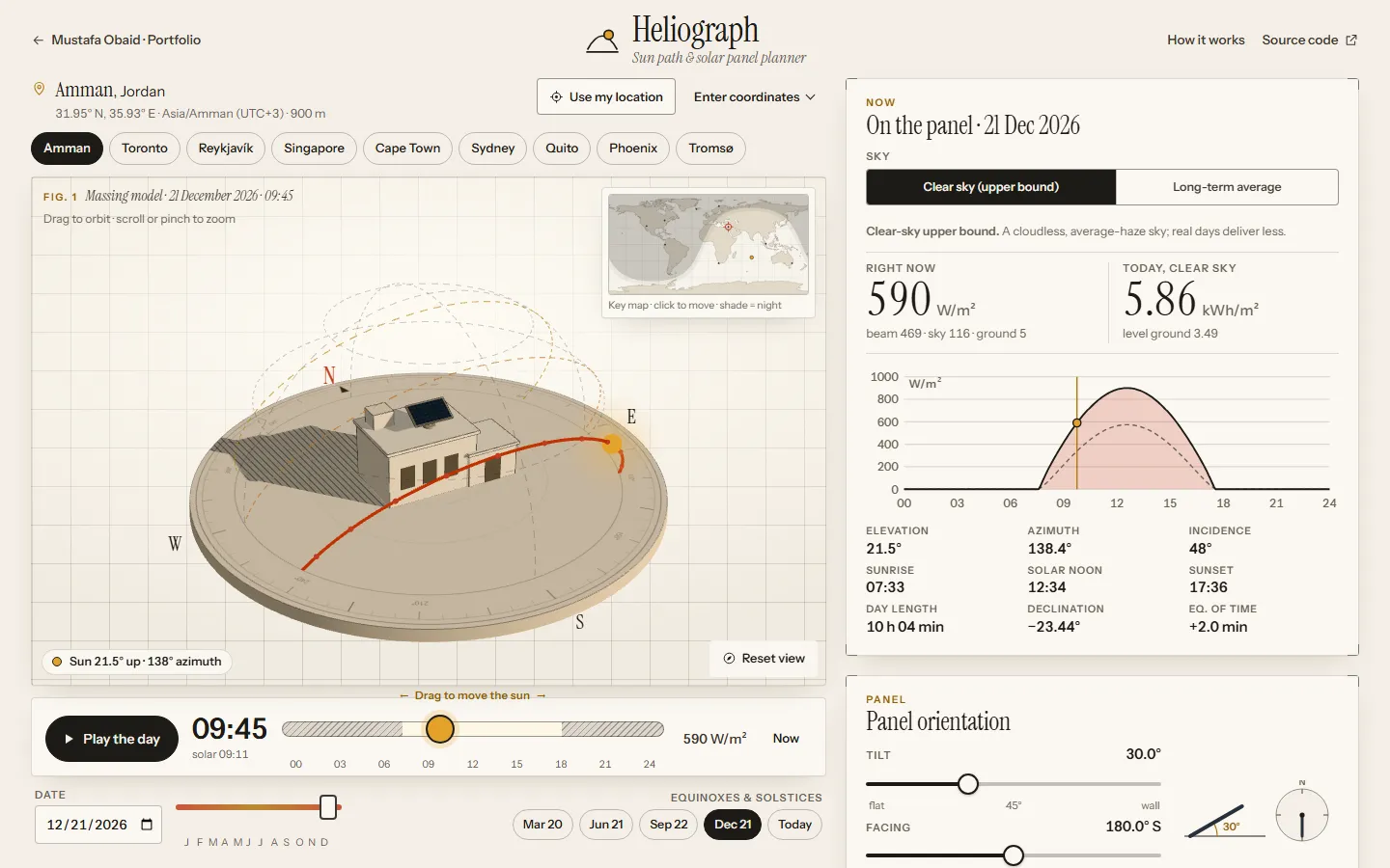
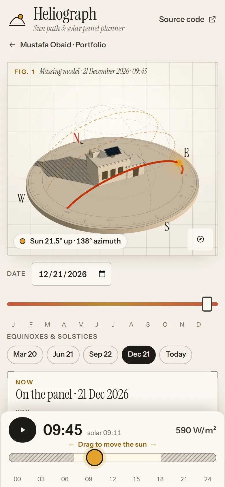
Track the sun anywhere on Earth, draw the buildings that shade you, and search the whole tilt–azimuth landscape for the best panel orientation.
What you can do
- Scrub any day and time: the sun moves along its real path over a 3D massing model and the shadows follow.
- Draw buildings and trees on the sun-path diagram; the shading cuts both the direct beam and the visible sky.
- Search every tilt and azimuth at once: a heat map of annual energy with the optimum and its 95 % tolerance band.
- Compare fixed, seasonal re-tilt, single- and dual-axis tracking, and estimate yearly PV output.
- Choose a clear-sky upper bound or NASA POWER long-term averages; export a year of hourly values as CSV.
How it works
Sun position follows the NOAA/Meeus algorithm. Clear-sky irradiance comes from the simplified Solis model (aerosol, water vapour and altitude are editable), and the Perez 1990 or Hay–Davies model transposes it onto the tilted panel with ground reflection. A Web Worker integrates every hour of the year for each tilt and azimuth and refines the optimum.
The hard part
Getting the astronomy and radiometry right to reference precision while keeping a year-long integration over every panel orientation interactive in the browser.
Validation
- Sun position vs NOAA Solar Calculator (3 sites)
- within 0.004°
- Sunrise and sunset vs NOAA and USNO
- within 1 s
- Solis, Perez, Hay–Davies vs pvlib test values
- ≤ 0.0044 W/m²
- Optimum tilt vs PVGIS 5.3 (long-term averages)
- within 2.4° outside the tropics
- Midnight sun at Tromsø vs USNO
- same dates, 19 May – 25 Jul 2026